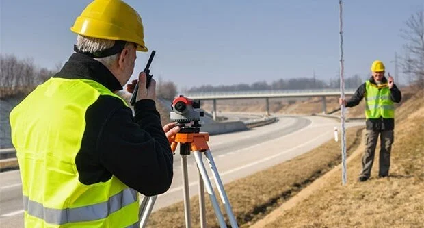

Topographic Land Surveys
We provide detailed topographic surveys, capturing precise land elevations, features, and contours to support planning, design, and construction projects with accuracy and efficiency.

Boundary & Title Surveys
Our boundary and title surveys establish legal property lines, helping landowners, developers, and legal professionals resolve disputes and ensure compliance with property regulations.

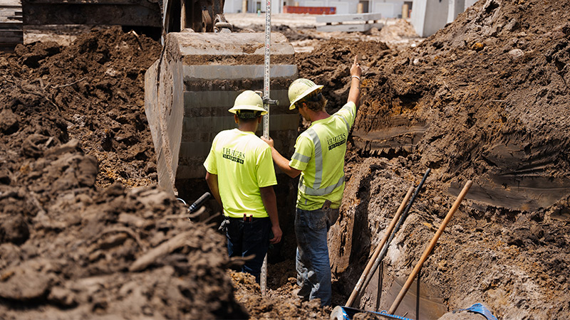
Construction Site Surveys
We offer precise construction surveys, including site layout and as-built documentation, ensuring projects adhere to design specifications and regulatory requirements for seamless development.

Utility Mapping Services
Our utility mapping services accurately identify underground and overhead utilities, reducing risks during construction and helping developers plan safe and efficient projects.

Land Development Surveys
We provide comprehensive land development surveys for residential, commercial, and infrastructure projects, supporting site planning, zoning approvals, and sustainable development strategies.

GPS & Drone Surveys
Utilizing advanced GPS and drone technology, we deliver high-resolution aerial mapping and geospatial data to enhance surveying accuracy, efficiency, and project decision-making.